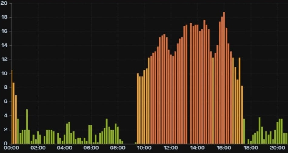
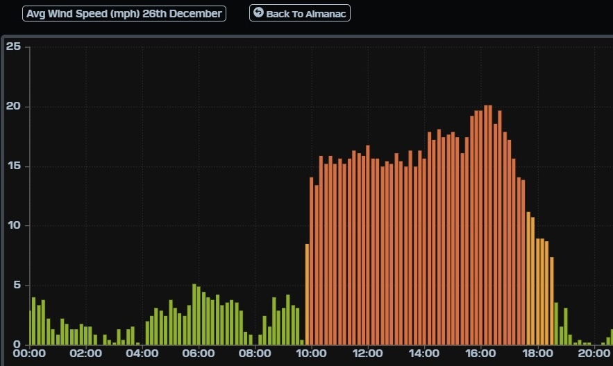
¡Buenos dias! An Oceansat satellite pass late last evening measured NW winds around 10 knots just east of Cerralvo, but all of the latest forecast model runs show the ample north background flow we’ve enjoyed over the past several days will weaken substantially today. The majority of models show the north background flow falling to just below the threshold to fully activate our wind machine, but it will be close. Winds will become even lighter on Tuesday as a trough of low pressure forms over the southwestern U.S. and the surface pressure gradient here becomes very weak. Model forecasts are in excellent agreement that surface high pressure will build into the western U.S. on Wednesday and send a fresh surge of north wind down the Sea of Cortez. Solid north flow will likely last through Friday as the high remains nearly stationary far to our north and sunny to mostly sunny skies continue. Long-range models show the surface pressure gradient weakening on Saturday, with winds becoming light. Looking farther into next weekend and beyond, the long-range model forecasts disagree on timing, but surface high pressure will begin to build into the western U.S. and the north flow will increase here…possibly as early as Sunday.
- Today…Sunny. North wind 12-14 mph.
- Tuesday…Sunny. Northeast wind 8-10 mph.
- Wednesday…Sunny. North wind 18-22 mph.
- Thursday…Sunny. North wind 18-22 mph.
- Friday…Sunny. North wind 16-20 mph.
- Saturday…Sunny. Northeast wind 10-12 mph.
- Sunday…Mostly sunny. North wind 14-16 mph.

